"Climb the mountains and get their good tidings. Nature's peace will flow into you as sunshine flows into trees. The winds will blow their own freshness into you, and the storms their energy, while cares will drop like autumn leaves." John Muir
The last post on Sneffels Overlook reminded me of a fantastic hike I made up Weehawken Basin to the summit of Mt. Ridgway. Mt. Ridgway is a 13'er (over 13,000 feet high). It's just above Blaine Basin and just east of Mt. Sneffels. It's about a 12 mile hike round trip with around 4,600 feet of elevation gain. So, it's a "puffer" for sure. I did not realize that I was doing this hike on the same day as the annual Imogene Pass Run from Ouray to Telluride. I noticed lots of barricades, etc but didn't know for sure what was happening. They closed the road for most of the day after I had gone on up the basin. Fortunately, it was all over and the road reopened by the time I got back to my pickup.
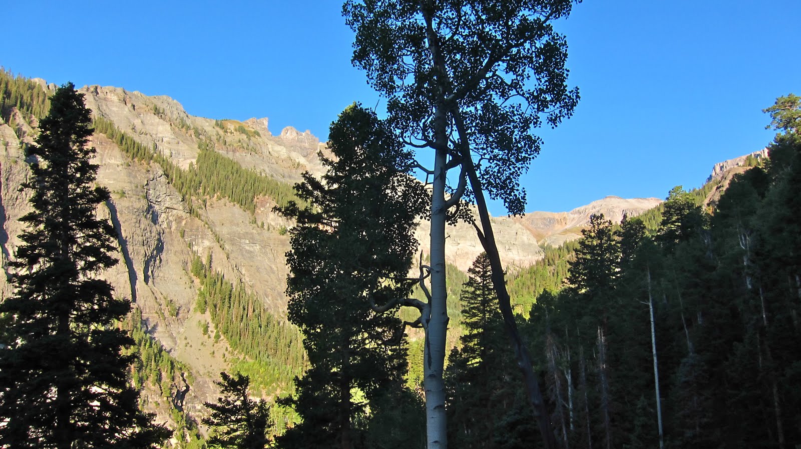
Trail head.

There were still quite a few wild flowers.

The trail gains altitude fairly quickly and then opens up a bit for some nice views. Mt. Ridgway is way up there at the end of the valley.
There are lots of cool hoodoos along this trail. There are also many cuts from streams that come into the main creek. Though most were dry, they were often tricky to cross due to washing out during heavy rain storms.

More hoodoos!

Wow, it's getting really cool now. The valley narrows just before entering Weehawken Basin.

The view back down the valley at the beginning of Weehawken Basin. There is no trail here that I could find. There was very little evidence that this area is used much at all. I was the only one on the trail this whole day.

Weehawken Basin. Potosi Peak is top center and a very nice rock glacier at its feet.

Mt. Ridgway front and center. Whew, still a long ways to go.

Mt. Ridgway is high on the left. Whitehouse Mountain on the right. Just left of the knob in the center is the way up through the slide area. I was on all 4 going up that. But, I've been on worse.

Now we're talking! This is on the ridge just left of the knob in the photo above. The view off the other side to the north is fantastic. Mt. Ridgway's shoulder is on the left in this photo. Still a bunch of up to go. But, when you get to this point the views are sooo good that sweat and work is well worth it.

Lots of loose talus from here on. It was non-stop work. Forward two steps slide back one. Montrose, CO is upper left in this photo.

Yes, finally the summit. That's Mt. Sneffels in the center. Blaine Basin is below.

The summit cairn. Whitehouse Mountain in the background.

These San Juan mountains are gnarly! Potosi Peak is upper left, Teakettle Peak is upper right.

Sneffels (14,157') is a beauty! I was up there years ago. I feel the yearning to go back.

On the way back down, there was a light show in Weehawken Basin. I don't care how many times you visit these mountains, there's always a new view and hope that tomorrow will be even better than today! But, I wonder if it can get any better than this.

More incredible beauty!

One last view across Yankee Boy before dropping down to the trailhead. More memories, and more reasons for thanksgiving to our awesome creator God!
